
Carrboro ZIP Directory Coverage
Two ZIP codes matter most for Carrboro address research. ZIP 27510 is the central and most recognized Carrboro postal identity. ZIP 27516 also appears on addresses in or near outer Carrboro, even though it is commonly associated with Chapel Hill. Neither code traces the incorporated town line. The county GIS and parcel record provide the jurisdiction check that a postal result cannot supply.
| ZIP | Areas covered or postal identity | Post office | Research note |
|---|---|---|---|
| 27510 | Central, most-recognized Carrboro postal area; the state ZIP table identifies Carrboro and Orange County | Carrboro Post Office, 1500 W. Main St. | Primary postal identity, not the same as the town boundary |
| 27516 | Outer Carrboro and a wider Chapel Hill postal area, especially near Carrboro's edges | Chapel Hill-area stations; confirm a specific address with USPS | Can include Carrboro, Chapel Hill, and other Orange or Chatham geography |
Town planning surveys also recorded both codes among Carrboro-related responses, but those surveys are not an official boundary map. Orange County's GIS downloads include a Zipcodes dataset updated in April 2026. It is a geographic lead, while the exact address remains the correct unit for a postal verification.
Carrboro ZIP Code 27510
ZIP 27510 is Carrboro's core postal identity. The USPS Carrboro Post Office location record places the post office at 1500 W. Main Street, Carrboro, NC 27510-5514. USPS lists retail service Monday through Friday from 9 to 4 and Saturday from 9:30 to noon, with a 24-hour self-service kiosk. Confirm current services directly with USPS before visiting.
The code is helpful for mail and an initial address screen, but it does not establish who owns, occupies, or votes at a parcel. A 27510 result should be followed by Orange County parcel information and the Carrboro jurisdiction layer when the town boundary matters. That distinction prevents a postal answer from being mistaken for a municipal record.
The official USPS location page is the source for the Carrboro post-office view and service information.
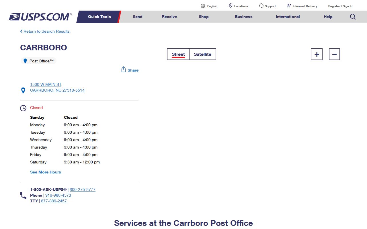
The post-office listing confirms the core postal identity, while the local parcel and map tools answer a separate town-jurisdiction question.
Why Carrboro Uses ZIP Code 27516
ZIP 27516 is the local mismatch that causes many bad assumptions. It is primarily tied to Chapel Hill, yet portions of Carrboro can use it. The same ZIP also reaches addresses outside Carrboro, including Chapel Hill and parts of other Orange and Chatham geography. A Carrboro address with a Chapel Hill postal label is not automatically outside town, and a Carrboro-style ZIP label is not automatically inside it.
The research did not identify an official USPS boundary polygon or a ZIP split date. Do not invent a postal-history year. Use the returned USPS address, then check the Orange County parcel's situs, the Carrboro map's jurisdiction boundary, and any tax mailing address as separate fields. Postal, parcel, and mailing values can all be accurate while describing different things.
Note: A ZIP result describes delivery geography, so retain the exact returned address before comparing it with county and town records.
Search Carrboro by ZIP Code
There is no documented official ZIP-wide household roll for Carrboro. The useful method begins with one address, not a broad place-name search. USPS gives the postal code for that address; Orange County and Carrboro GIS then identify the parcel and jurisdiction. From there, use the appropriate record for the question, such as a property record, deed, permit, or a name-based voter search where the public fields apply.
- Enter the complete street address in the USPS ZIP Code Lookup and save the returned city, state, and ZIP.
- Search the address or PIN in Orange County's address and parcel tools to identify the situs and parcel continuity key.
- Open Carrboro GIS or the Orange GIS jurisdiction layers to test whether the location is inside town limits.
- Use an address, owner, PIN, or name in the records system that fits the question. Do not assume a ZIP filter exists when the portal does not show one.
- For a changed street name or historical record, test the earlier spelling and former Carrboro town names before deciding the postal label changed.
Once a ZIP narrows the area to a particular street, the Carrboro street directory provides the address-by-address county workflow. ZIP codes are broad filters, while PIN and address records identify the parcel more precisely.
Carrboro ZIP Search Field Limits
Orange County's public address tools are not documented as ZIP-wide resident searches. Address Inquiry supports PIN, TMBL or tract, street name, and place, with a street control that can display addresses. The tax and PIN search supports owner, address, subdivision, and PIN, but the inspected help does not show a ZIP filter. The NC Voter Search accepts county but no ZIP field in the inspected form. These limits are important because a search form should not be described as doing more than its published fields support.
Orange GIS zoning-search text exposes Address, City, and Zip fields at its web-services endpoint. It can help verify an address or zoning geography, not create an ownership or household roll. Carrboro and Orange GIS apps also support address, PIN, map, and jurisdiction work. Permits use address or parcel searches, with no documented ZIP filter.
| Field | Tool use | What it can confirm |
|---|---|---|
| Address | Orange GIS zoning search | Address-level geographic result |
| City | Orange GIS zoning search | Postal or locality text to compare with jurisdiction data |
| Zip | Orange GIS zoning search | ZIP-related address or zoning query, not an owner roll |
| PIN or street name | Orange Address Inquiry | Parcel-oriented or street-address lookup |
Orange County GIS, Addressing and Land Records links the address database, property history, and GIS routes used after a postal check.
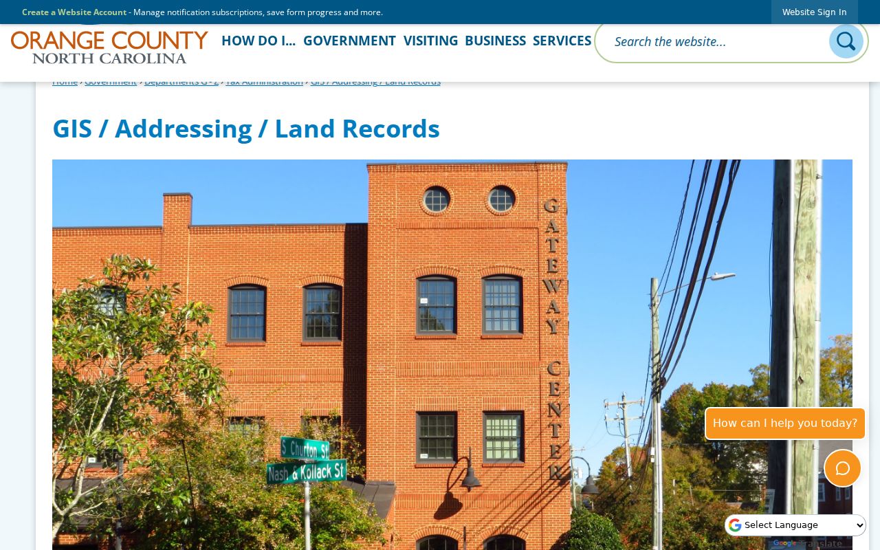
The county land-records page shows why a ZIP search needs an address or PIN follow-up before a parcel conclusion is made.
Test Carrboro ZIP Code Boundaries
A ZIP code is delivery geography, not a municipal boundary. That rule is especially important in Carrboro because 27510 and 27516 overlap a broader Chapel Hill and Carrboro postal landscape. Keep the USPS result, the town or county jurisdiction result, the parcel situs, and the tax mailing address in separate notes. A tax mailing address may be a post-office box, an agent, or an owner elsewhere. It is not proof that a person lives at the parcel.
- ZIP
- A USPS delivery code assigned to an address or postal area. It does not define an incorporated town boundary.
- ZIP+4
- An added delivery detail used within a ZIP area. It improves mail routing but does not add municipal jurisdiction.
- PO-box ZIP
- A code used for post-office boxes. It can describe where mail is collected rather than where a property is located.
- Carrier route
- A mail-delivery grouping within the postal system. It is not a record of households or town limits.
Note: When the postal label and town boundary disagree, preserve both values and identify the agency that supplied each one.
Carrboro PIN Before Postal Assumptions
Orange County uses the PIN as the coordinate-derived parcel tracking key. It remains useful when an address changes or a postal label is shared across town lines. The Property Ownership and History system accepts owner name, address, subdivision, and PIN. Orange Address Inquiry can list addresses on a selected street. The resulting parcel record can lead to deeds, plats, tax information, and GIS context without treating the ZIP as the identity of the land.
Situs means the physical parcel or building location. A mailing address is where tax notices go. A legal description and PIN identify the land. Those labels should never be silently merged. For a complete address verification, use the sequence address to PIN to jurisdiction to USPS ZIP to the record-specific search. Each system answers a different part of the question.
Carrboro ZIP Code Name Changes
Historical and newly changed street names can make an address appear to have a postal problem when the real issue is the street label. Carrboro was known as West End and then Venable before its 1913 name change. In 2024, Phipps Street became Lavender Street and Carr Street became Braxton Foushee Street. Search the current and former names where the date of the source calls for it.
Honorary signs do not change the official street name or building number, while an official renaming does. The PIN is the steadier county key. For older deeds or directories, compare the printed town and street wording with a plat, map, or parcel record before trying to infer a ZIP change that the research does not document.
Carrboro ZIP Directory Fallbacks
Use USPS ZIP Code Lookup for the first address check. If the result needs local confirmation, use Carrboro GIS and Orange County parcel boundaries, then contact the relevant custodian for an existing record. The county GIS downloads offer boundary data, and the town map links parcel, address, zoning, floodplain, school, and jurisdiction layers. None is a ZIP-keyed people list.
For a historical address, normalize the street number and name first, test West End, Venable, and Carrboro as appropriate, and then compare the delivery result with the parcel. When an online portal stops, a library, county office, or a focused public-record request for an existing record may provide the documented fallback. North Carolina Public Records Law does not require an agency to create a new ZIP-wide household list.
The USPS ZIP Code Lookup page is the source used for an address-to-ZIP check.
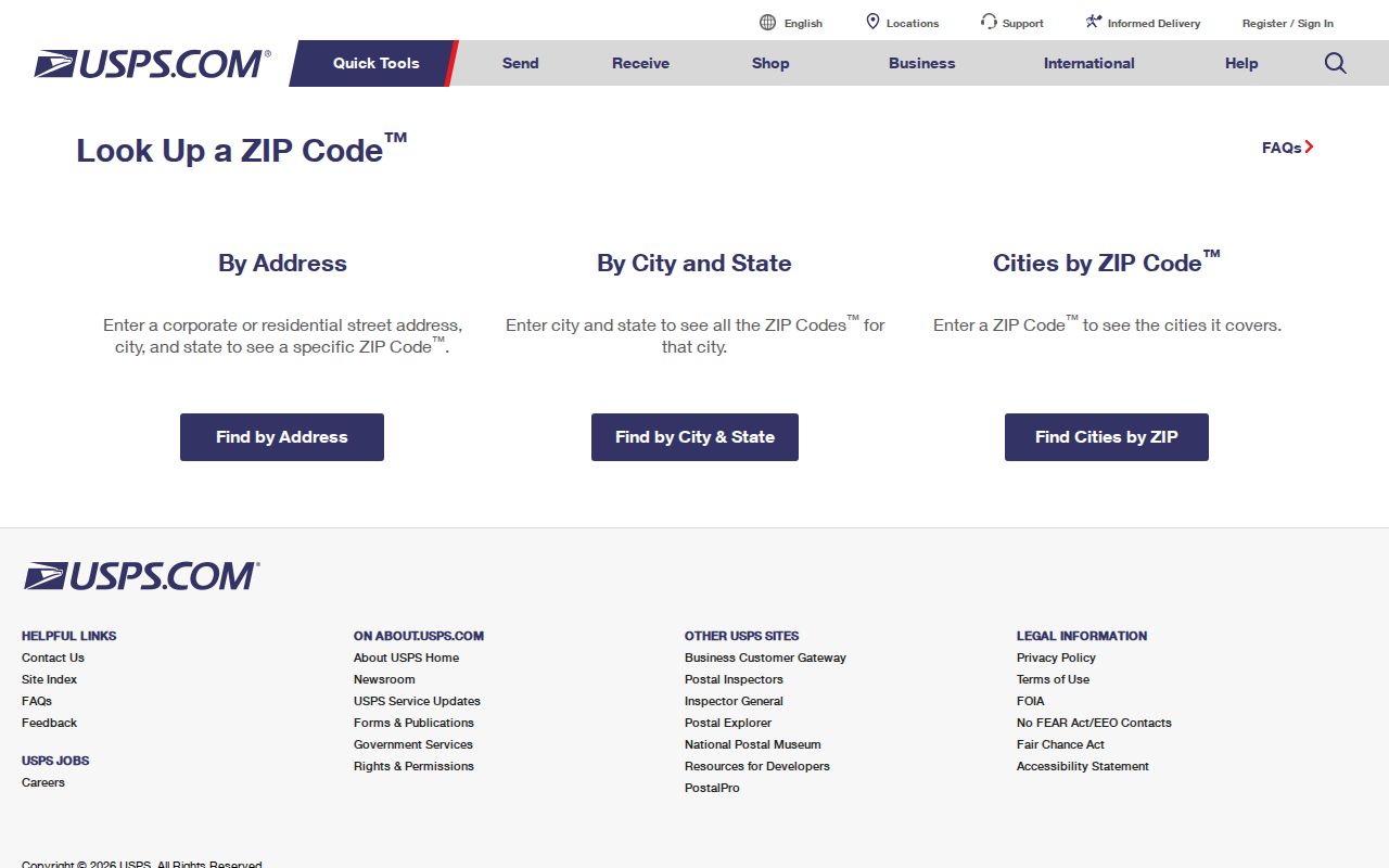
Enter the complete address, then keep the returned postal value alongside the local parcel and jurisdiction results.